


Measured Surveys Bristol
TOPOGRAPHICAL SURVEYS BRISTOL
-
- Detailed surveys for architects, developers and contractors
- Land registry plans
- As built drawings
- Volume and area calculations
Professional Measured Survey Services Bristol
We carry out detailed site surveys for many purposes using up to date robotic total stations and GPS equipment that allows us to plot work on to Ordnance Survey data and grid.
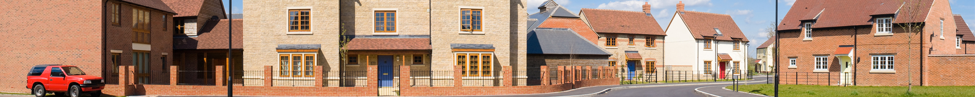
Sites can include single housing plots to multi-plot developments, roads, railways and civil engineering projects.
Survey drawings are provided in 2D or 3D as required and in auto cad and/or PDF formats. Paper copies can, of course, be supplied if required.
MEASURED BUILDING SURVEYS BRISTOL
Measured building surveys comprise floor plans, elevations and sections of the building. We use contactless technology enabling us to measure buildings inside and out and from top to bottom accurately and efficiently.
We use laser scanning technology where appropriate in order to be as unobtrusive and non-invasive as possible with detailed drawings provided in autoCAD, PDF or paper as required.
Floor plans can be provided in conjunction with topographical surveys thereby providing complete information regarding whole site developments.
STAFF AND EQUIPMENT
Our staff have a minimum of 10 years’ experience using tape measures, infra-red, robotic total stations, GPS and laser scanning.
We use electronic systems where possible and in particular with building surveys, we are able to carry out the work without disturbance to the fabric of the building and with minimal disturbance to the occupants.
Client’s requirements are paramount. We can carry out fairly basic surveys with only key features if required but surveys usually include all features including trees, shrubs, roads, paths, inspection chambers, drainage covers and invert levels etc.